
Kosrae: this is the forgotten island that was the most remote territory of the Spanish Empire
 ES
ESIf we ask many Spaniards which was the most remote territory in Spain, many will say that the Philippines and some will cite Guam.
However, there were more Spanish possessions in the Pacific: the Palau Islands, the Mariana Islands (of which Guam, then known as Guaján, was a part) and the Caroline Islands, which were the most remote archipelago of Spain. Of the latter, which today form part of the Federated States of Micronesia (an independent country that was a commonwealth territory of the US until 1990), the most remote land was an island that has fallen into oblivion in Spain: Kosrae.
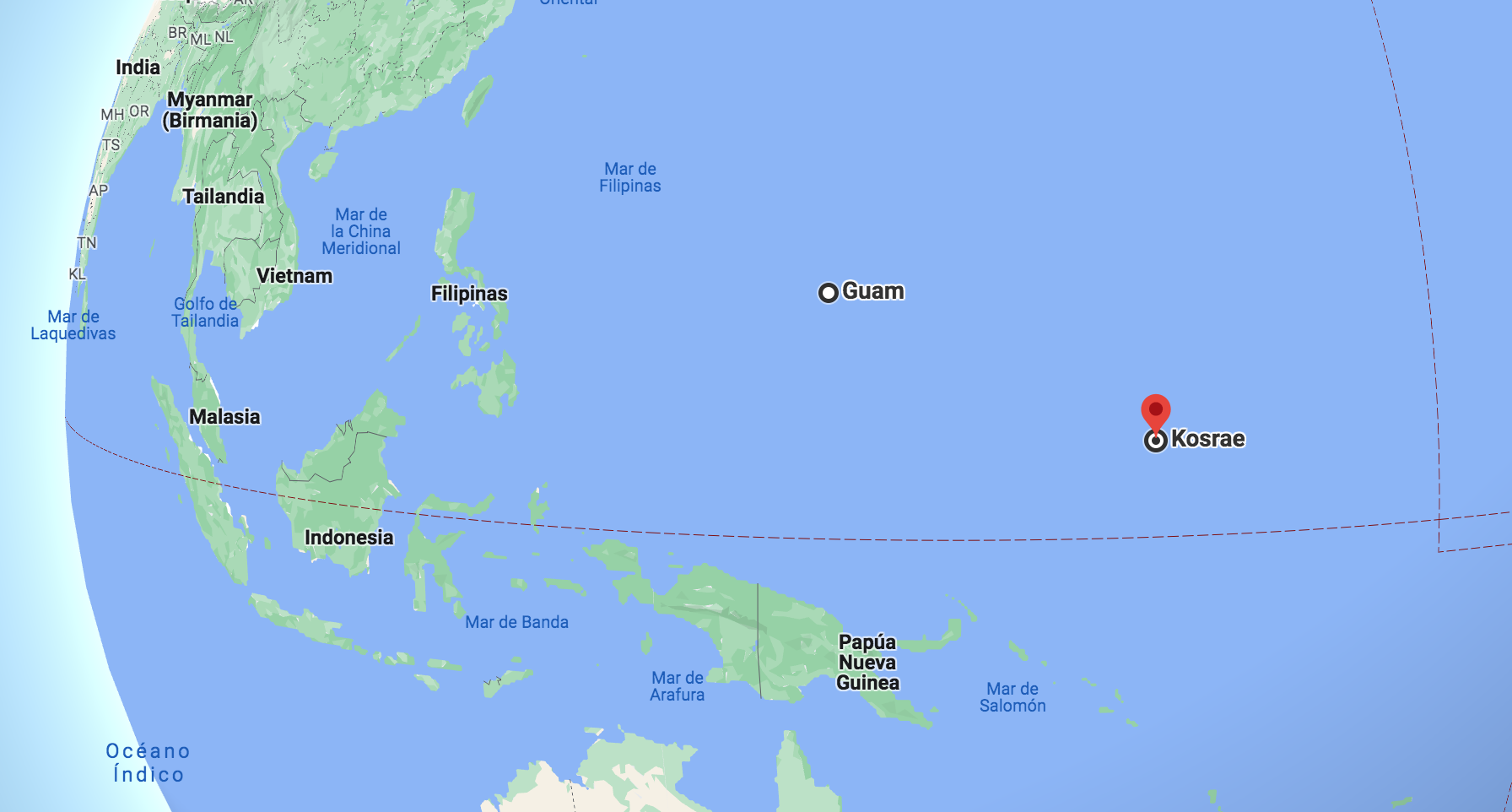
Like many other territories in the Pacific Ocean, Kosrae was discovered by a Spanish explorer: Álvaro de Saavedra Cerón, cousin of Hernán Cortés. He arrived on its shores on September 14, 1529, during the same expedition that led him to discover the Hawaiian Islands nearly two years earlier. This remote island, with an area of 110 square km, is 4,000 km east of the Philippines and almost 2,200 km from Guam. Despite its discovery by Spain in the 16th century and successive trips by other Spanish navigators to that archipelago, Kosrae and the rest of the Caroline Islands were formally incorporated into the Spanish Empire in 1686 by Francisco de Lezcano , who was the one who baptized them with that name in honor of King Carlos II of Spain.

It took a long time for that nominal sovereignty to become effective, since for two centuries Spain did not take possession of Kosrae. On August 20, 1852, ten missionaries, five men and five women, belonging to the Congregational Church (a Calvinist Protestant confession) and coming from Hawaii, arrived at Kosrae in the brig "Caroline", carrying out the first evangelization of the island.

On March 15, 1874, pirate and slave trader William Henry "Bully" Hayes landed on the island in a storm. It was the beginning of seven months of terror, in which the islanders They suffered all kinds of abuse, including the rape of girls by that criminal, until he managed to escape to Guam, fleeing from the British who were trying to arrest him.

In 1885 a crisis broke out between the Spanish Empire and the German Empire over the Caroline Islands, due to the commercial interests that the Germans had in the archipelago. Both countries accepted the mediation of Pope Leo XIII in the conflict. The papal award recognized Spanish sovereignty over the islands, but on the condition that Spain establish an administration there. Thus began the brief period of 14 years during which Spain had an effective presence in Kosrae. After the loss of the Philippines and Guam in 1898 in the war against the United States, Spain sold Kosrae and the rest of the Caroline Islands to Germany in 1899.

After World War I, Japan took over the island of Kosrae and the rest of the archipelago, a domain that remained until 1945: after the Japanese defeat in World War II, The island passed into the hands of the United States, until its independence in 1990.

Currently, the island's population is less than 8,000 inhabitants, spread over five towns: Lelu, Yepen, Tafunsak (in the north, the most populated), Malem and Utwe. Most of the population lives from fishing and agriculture, with a small tourism sector focused mainly on diving. Kosrae's currency, like that of the other Federated States of Micronesia, is the US dollar.

The official languages of the island are English and Kosraean, a local language from the Micronesian language group. Kosraean is only spoken on this island and is the most isolated and distinct of the Micronesian languages. Most of the legal and official documentation is done in English.

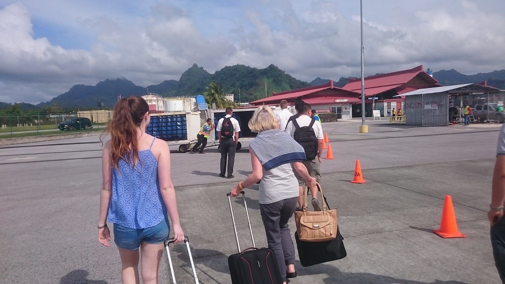
In addition to sea, the island is also accessible by air, as it has an international airport built on an artificial island created 150 meters from the coast, in the northwest of the island, near Tafunsak. The only airline serving this airport is United Airlines, with flights to Guam and Honolulu.
A year ago, Ivan En posted this video showing the beautiful landscapes of Kosrae:
Here you can see Kosrae on Google Maps:
---
Feature photo: Scot Nelson. The Kosrae coastline in a photo taken on August 18, 2003.
|
Don't miss the news and content that interest you. Receive the free daily newsletter in your email: Click here to subscribe |
- Lo más leído
- A British fairytale ruin: the abandoned shoe house on the Isle of Wight
- The interior of the Statue of Liberty torch and the sabotage that canceled its visits
- The supermassive black hole of Phoenix A, the biggest known light-devouring monster
- A virtual tour of ancient Rome in full color, just as it was in its heyday
- The unknown Soviet female cosmonaut who died on a mission: history or hoax?
- A large collection of Volkswagen cars hidden in an abandoned mine in Switzerland
- An old Soviet military plane abandoned from 1971 on a Russian island near Alaska


Opina sobre esta entrada: